 FREE SHIPPING ON ORDERS OVER $30
FREE SHIPPING ON ORDERS OVER $30
 Sale!
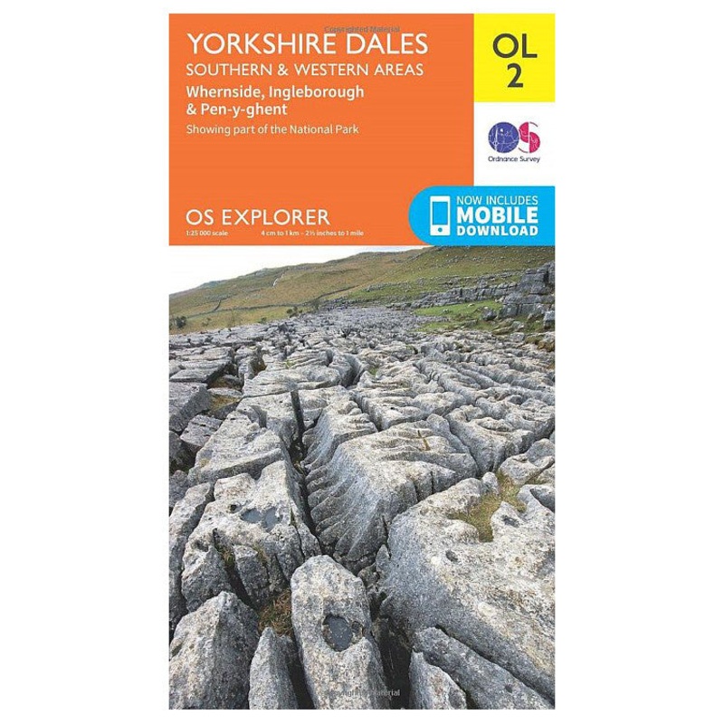
Sale! Yorkshire Dales Southern & Western Areas - OS Explorer Map OL2.Trusted walking maps for those doing day trips or longer more challenginghikes. Whether youre passionate about cycling, mountain biking, walking orhorse riding, take the explorermap with you an
Yorkshire Dales Southern & Western Areas – OS Explorer Map OL2.
Trusted walking maps for those doing day trips or longer more challenginghikes. Whether youre passionate about cycling, mountain biking, walking orhorse riding, take the explorermap with you and get the most out of youradventures.
Whernside, Ingleborough & Pen-y-ghent.
Showing part of the National Park and the Pennine Way.
Sheet: OL2 (1:25000)
Standard Shipping
Cost: $25
Free Shipping
We offer free shipping on orders over $30. Please check the free - shipping eligibility at checkout.
Delivery Time:
It usually takes [3-5] business days for standard shipping. Please note that this is an estimated time frame and may be affected by local holidays, and unforeseen circumstances.
Reviews
There are no reviews yet.