 FREE SHIPPING ON ORDERS OVER $30
FREE SHIPPING ON ORDERS OVER $30
 Sale!
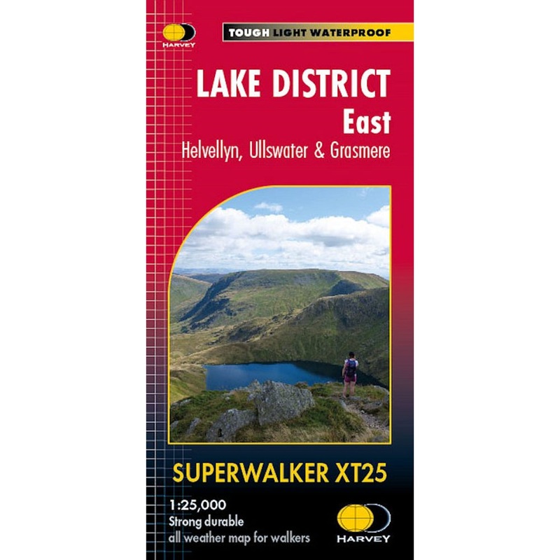
Sale! Detailed 1:25,000 scale walking maps of the UK and Ireland. Exceptionally clear and easy to read.Improved and extended coverage as far as the A6 and to Kentmere & Troutbeck in the west. Shap summit, High Street, Ullswater, Pooley Bridge and Haweswater Rese
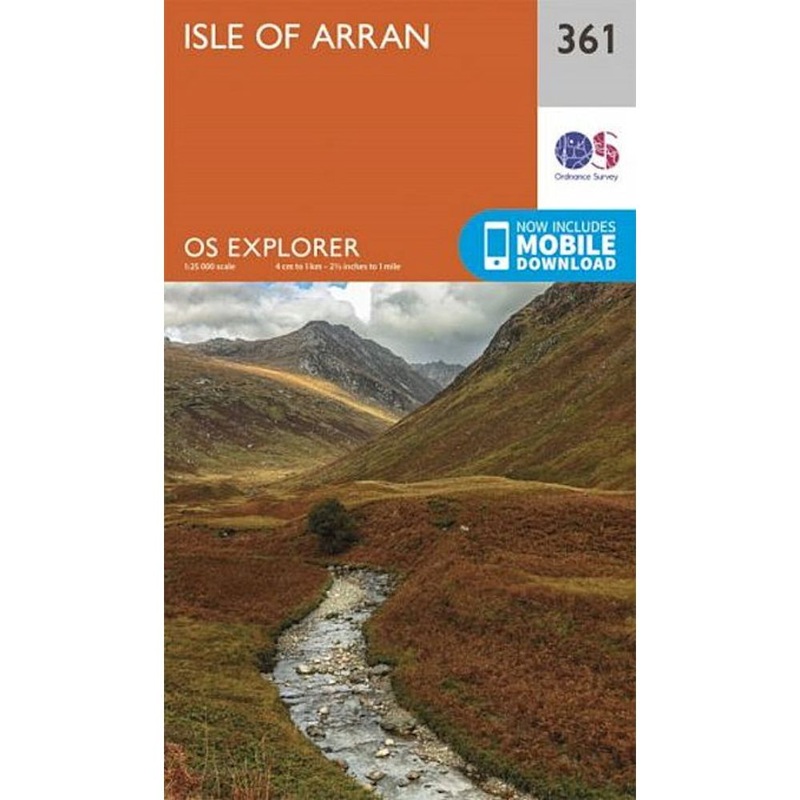
Detailed 1:25,000 scale walking maps of the UK and Ireland. Exceptionally clear and easy to read.
Improved and extended coverage as far as the A6 and to Kentmere & Troutbeck in the west. Shap summit, High Street, Ullswater, Pooley Bridge and Haweswater Reservoir are all featured. Includes 82 Wainwrights.
Standard Shipping
Cost: $25
Free Shipping
We offer free shipping on orders over $30. Please check the free - shipping eligibility at checkout.
Delivery Time:
It usually takes [3-5] business days for standard shipping. Please note that this is an estimated time frame and may be affected by local holidays, and unforeseen circumstances.
Reviews
There are no reviews yet.