 FREE SHIPPING ON ORDERS OVER $30
FREE SHIPPING ON ORDERS OVER $30
 Sale!
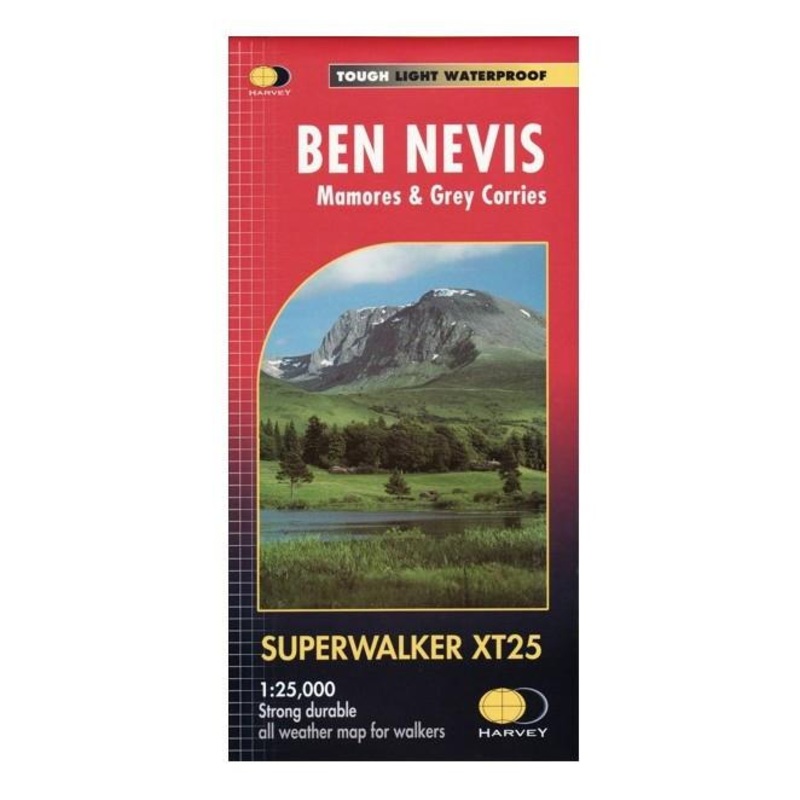
Sale! Detailed 1:25,000 scale walking maps of the UK and Ireland. Exceptionally clear and easy to read.Fort William through Glen Nevis to Loch Treig. From the Grey Corries south to Kinlochleven. Ben Nevis, the Aonachs and the Mamores are among the 20 'Munros' an
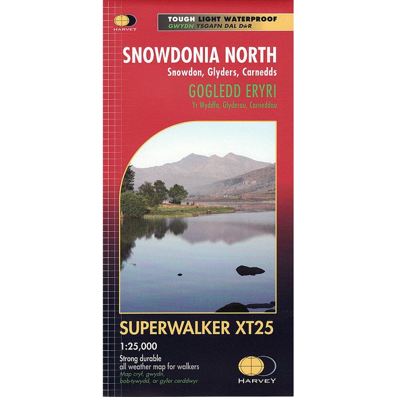
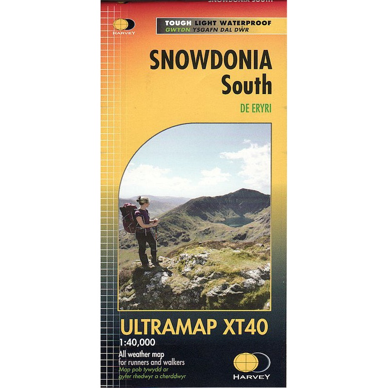
Detailed 1:25,000 scale walking maps of the UK and Ireland. Exceptionally clear and easy to read.
Fort William through Glen Nevis to Loch Treig. From the Grey Corries south to Kinlochleven. Ben Nevis, the Aonachs and the Mamores are among the 20 ‘Munros’ and 4 ‘Corbetts’. Enlargement of Ben Nevis summit. As used by the Lochaber Mountain Rescue Team.
Standard Shipping
Cost: $25
Free Shipping
We offer free shipping on orders over $30. Please check the free - shipping eligibility at checkout.
Delivery Time:
It usually takes [3-5] business days for standard shipping. Please note that this is an estimated time frame and may be affected by local holidays, and unforeseen circumstances.
Reviews
There are no reviews yet.