 FREE SHIPPING ON ORDERS OVER $30
FREE SHIPPING ON ORDERS OVER $30
 Sale!
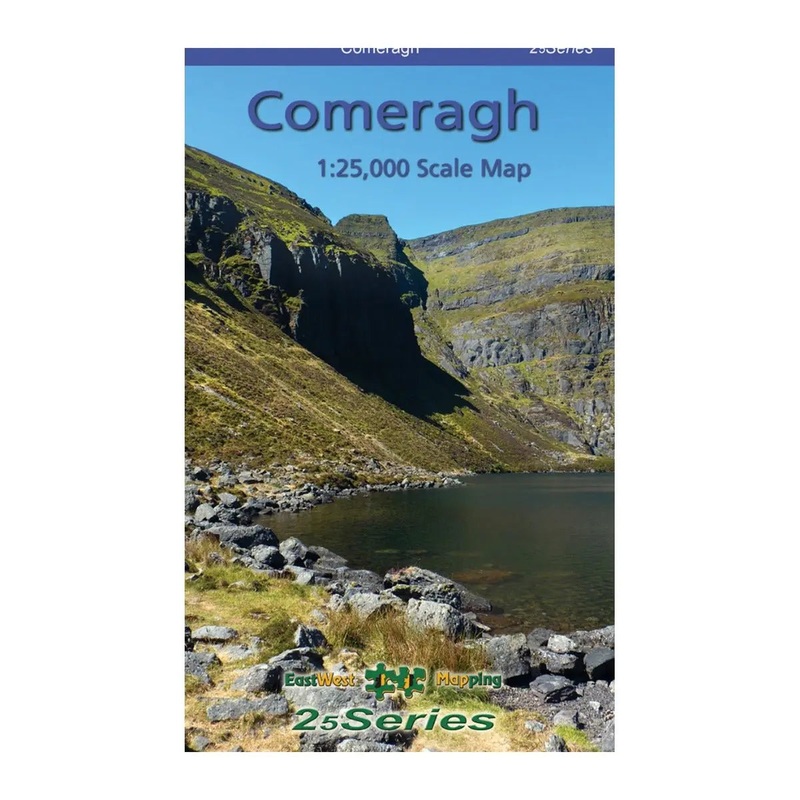
Sale! Definitive detailed map at 1:25,000 scale covering from Clonmel to The Pike and Mahon Bridge to Fourmilewater. Covers the Comeragh Mountains, River Suir and hinterland. Produced to our 25Series standard, this general topographic map has a 5 metre contour i
Definitive detailed map at 1:25,000 scale covering from Clonmel to The Pike and Mahon Bridge to Fourmilewater. Covers the Comeragh Mountains, River Suir and hinterland. Produced to our 25Series standard, this general topographic map has a 5 metre contour interval for fine navigation. Signposted walking trails and greenways are depicted. We have conducted considerable research into local sites & placenames and much information is recorded on a map here for the first time. Printed on good quality Progeo 90gsm map paper. The map sheet measures 1125mm x 820mm, covering 550 sq kilometres and is folded down to 125mm x 205mm.
Standard Shipping
Cost: $25
Free Shipping
We offer free shipping on orders over $30. Please check the free - shipping eligibility at checkout.
Delivery Time:
It usually takes [3-5] business days for standard shipping. Please note that this is an estimated time frame and may be affected by local holidays, and unforeseen circumstances.
Reviews
There are no reviews yet.